


4 km | 4.5 km-effort

Tous les sentiers balisés d’Europe GUIDE+


FREE GPS app for hiking
 SityTrail
IGN / Geographical institutes
SityTrail World
The world is yours!
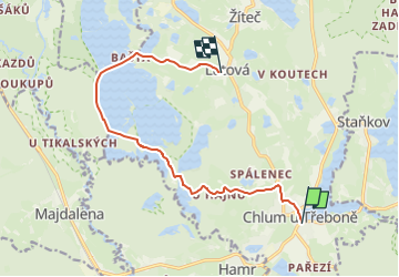
Trail On foot of 10.5 km to be discovered at Southwest, Jihočeský kraj, Chlum u Třeboně. This trail is proposed by SityTrail - itinéraires balisés pédestres.
Trail created by cz:KČT.


![Trail On foot Chlum u Třeboně - [Z] Majdalena žst. - Starý Kanclíř - Photo](https://media.geolcdn.com/t/375/260/160cb673-a34f-4369-9d35-56dda7405eee.jpeg&format=jpg&maxdim=2)
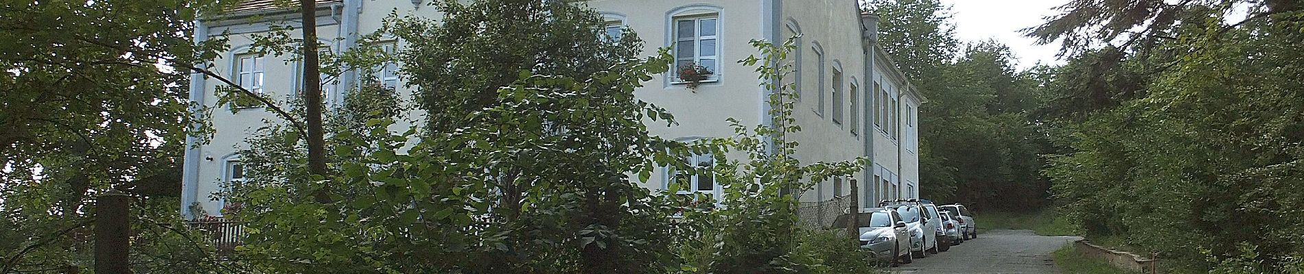
On foot
![Trail On foot Chlum u Třeboně - [M] Chlum u Třeboně - Majdalena - Photo](https://media.geolcdn.com/t/375/260/c5b3127b-51b9-444c-873e-2820e6bdc5ba.jpeg&format=jpg&maxdim=2)
On foot